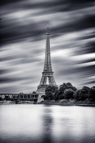
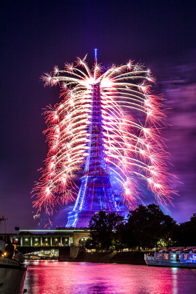
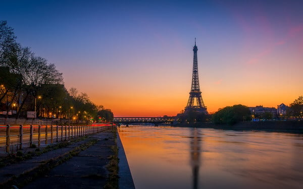
Eiffel Tower seen from Voie Pompidou
3 images 1 contributors
Frédéric Monin
About this spot
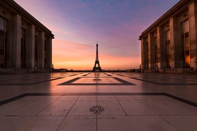
This spot is located Voie Georges Pompidou at the midle between the Pont Rouelle (SNCF bridge) and the Pont BirHakeim, along the Seine and the île Aux Cygnes.
The Georges-Pompidou route is a 13-kilometer route crossing Paris along the right bank of the Seine. It is essentially made up of expressways, except for the part going from the Tuileries tunnel to the quai Henri-IV (track on the banks to the east) which has become a pedestrian street (since 2016).
It is named after former President of the Republic Georges Pompidou (1911-1974) who inaugurated it in 1967 when he was Prime Minister and had initiated the motorway plan for Paris of which this route is one of the only achievements.
The Ile aux Cygnes, formerly the Grenelle dike, 1 is an artificial island located on the Seine, in Paris, between the 16th and 15th arrondissements, and administratively attached to the latter.
Join PhotoHound to learn how, where and when to capture amazing photos here
- Know the best times, seasons & shooting conditions
- Detailed directions - maps, co-ordinates and directions
- Know how to get there - where to park or how to reach there using public transport
- Browse inspirational photos and learn how they were taken - see the EXIF details
- Bookmark your favourite spots for future reference
- Know exactly when to shoot for beautiful photographs - sunrise, sunset, blue hour and astrophotography
- Detailed, 7-day weather forecast at this location
- Share your images with like-minded travel photographers
Essential Information
Guides
This spot appears in 1 guide.