 North Springfield Dam and Reservoir - Top of Dam Level
7 images 1 contributors Shoot with care
Wayne Foote
Shoot with care
Do not walk or climb on the rock slopes. They are a restricted area and dangerous. There are specific rule governing the dam - see website link
About this spot
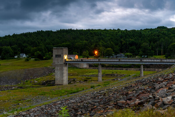
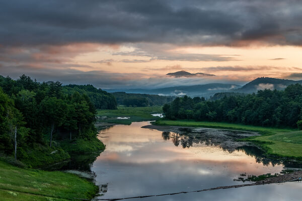
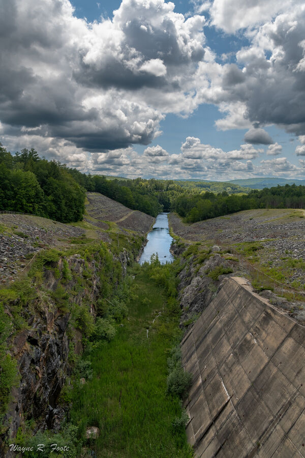
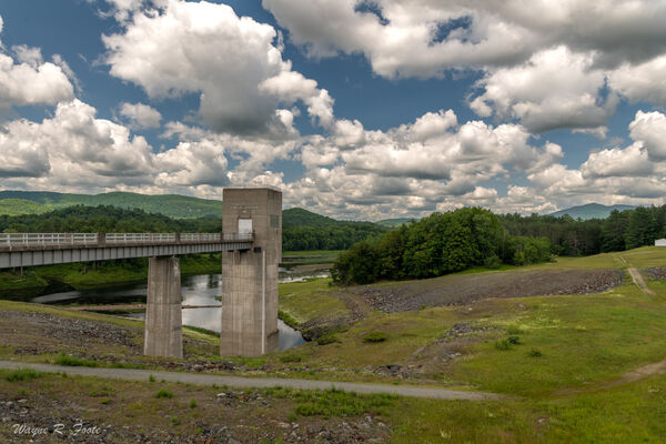
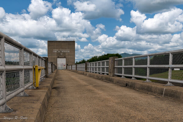
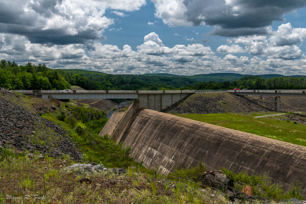
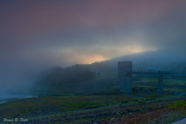
The North Springfield Dam is a flood control structure and does not generate hydroelectric power. It was built and is managed by the Army Corps of Engineers. It lies across the Black River in Springfield, Vermont. Depending upon the time of year water levels can vary by 70'/21.3m or more. The dam has the capacity to retain higher waters. The dam provides a high point for vista photography as well. Some bird photography is also possible from the dam top. Late September through early October is the peak foliage color season. The hills will be brilliant with reds, yellows and oranges.
Join PhotoHound to learn how, where and when to capture amazing photos here
- Know the best times, seasons & shooting conditions
- Detailed directions - maps, co-ordinates and directions
- Know how to get there - where to park or how to reach there using public transport
- Browse inspirational photos and learn how they were taken - see the EXIF details
- Bookmark your favourite spots for future reference
- Know exactly when to shoot for beautiful photographs - sunrise, sunset, blue hour and astrophotography
- Detailed, 7-day weather forecast at this location
- Share your images with like-minded travel photographers
Essential Information
Web links
https://www.nae.usace.army.mil/Missions/Recreation/North-Springfield-Lake/


