 Eemmeer
12 images 1 contributors Shoot freely
Gert Lucas
About this spot
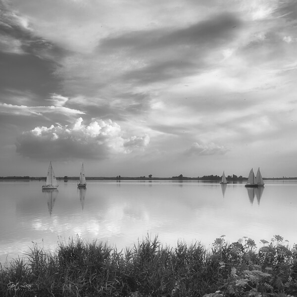
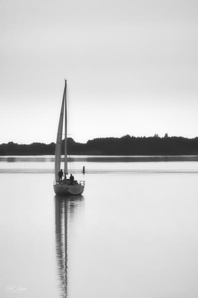
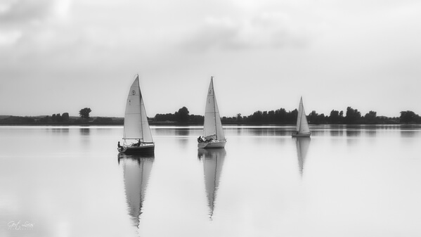
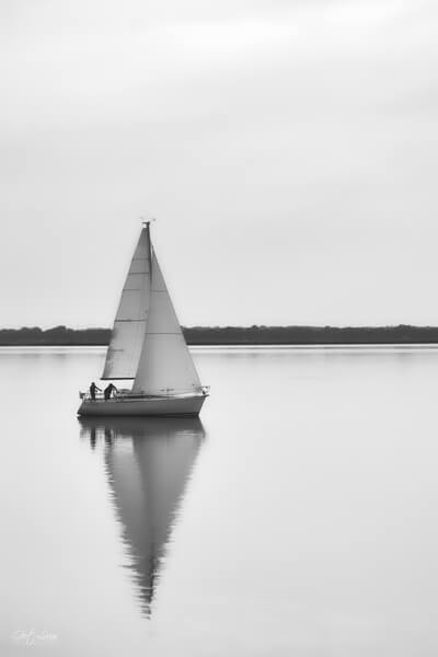
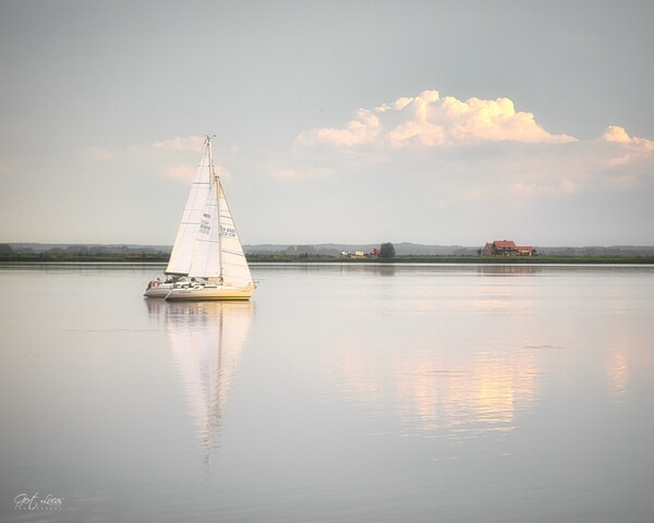
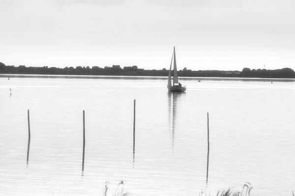
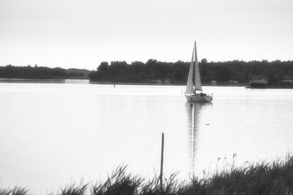
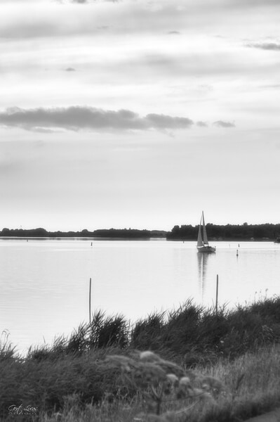
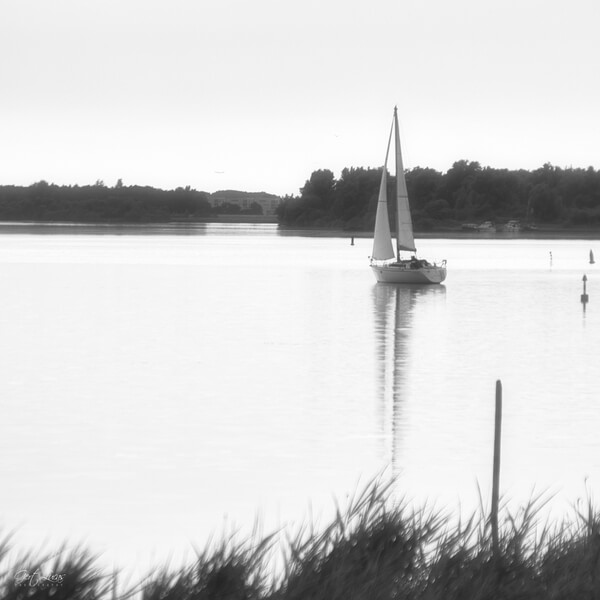
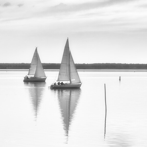
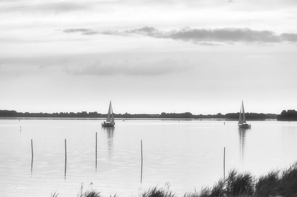
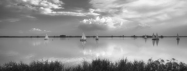
The Eemmeer is a 1,340 ha peripheral lake between the Dutch provinces of Utrecht, Flevoland and North Holland that is jointly managed by Natuurmonumenten and Staatsbosbeheer. It runs from the Stichtse Brug (A27), the border with the Gooimeer, to the bend at Spakenburg where it continues as Nijkerkernauw. Off the coast of Spakenburg is a large wreck graveyard of former fishing ships.
The Eem flows into the Eemmeer. There are two islands: the Dead Dog and the Common Tern.
The Eem flows into the Eemmeer. There are two islands: the Dead Dog and the Common Tern.
Join PhotoHound to learn how, where and when to capture amazing photos here
- Know the best times, seasons & shooting conditions
- Detailed directions - maps, co-ordinates and directions
- Know how to get there - where to park or how to reach there using public transport
- Browse inspirational photos and learn how they were taken - see the EXIF details
- Bookmark your favourite spots for future reference
- Know exactly when to shoot for beautiful photographs - sunrise, sunset, blue hour and astrophotography
- Detailed, 7-day weather forecast at this location
- Share your images with like-minded travel photographers


