Skyline Divide
6 images 3 contributors
T. Kirkendall and V. Spring
About this spot
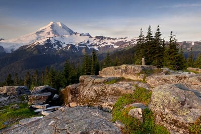
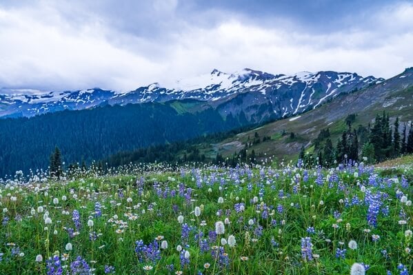
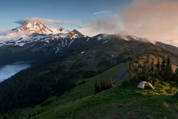
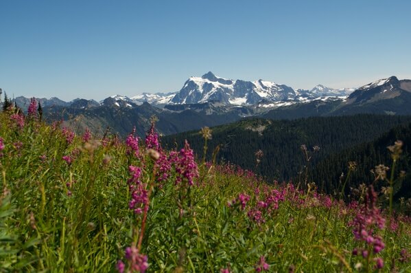
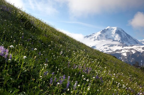
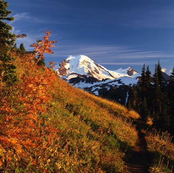
Superlatives fail when trying to describe the meadows and views of Mount Baker from Skyline Ridge. Wildflowers cover the meadows during the summer months and the fall color can be breathtaking by mid-September. Mount Baker is not the only mountain to be viewed from this trail, Mount Shuksan, Church Mountain and the Border Peaks also put in an appearance. Further out the Strait of Georgia shines and the mountains of Vancouver Island and the Coast Range of British Columbia are visible.
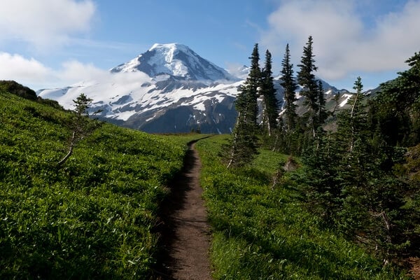
The hike length varies from 6 to 10 miles depending how far you want to go. The trail begins with a 2-mile climb which ends in a ridgetop meadow. Head up a grassy knoll for the first panoramic looks at the area. Continue on for a generous ½ mile then go left up a 6215-foot knoll for the widest views. For Mount Baker, continue on another ¾ mile, descending then climbing around Skyline Divide.
The hike length varies from 6 to 10 miles depending how far you want to go. The trail begins with a 2-mile climb which ends in a ridgetop meadow. Head up a grassy knoll for the first panoramic looks at the area. Continue on for a generous ½ mile then go left up a 6215-foot knoll for the widest views. For Mount Baker, continue on another ¾ mile, descending then climbing around Skyline Divide.
Join PhotoHound to learn how, where and when to capture amazing photos here
- Know the best times, seasons & shooting conditions
- Detailed directions - maps, co-ordinates and directions
- Know how to get there - where to park or how to reach there using public transport
- Browse inspirational photos and learn how they were taken - see the EXIF details
- Bookmark your favourite spots for future reference
- Know exactly when to shoot for beautiful photographs - sunrise, sunset, blue hour and astrophotography
- Detailed, 7-day weather forecast at this location
- Share your images with like-minded travel photographers
Essential Information
Guides
This spot appears in 1 guide.