Malham Cove
4 images 2 contributors
Mat Robinson
About this spot
Being on the southern end of the Dales, more easily accessible from some of the major northern cities, it's no wonder such a towering natural feature draws the crowds. Malham cove was formed during the last ice age when glacial melt water flowed from the moorland above, now the location of Malham tarn and carved out the landscape via an enormous waterfall. Nowadays, the stream has sunk underground and re-emerges at the base of the cove. Only once in living memory (December 2015) has it rained enough for the waterfall to reappear - temporarily making it England's tallest waterfall (80m) by some way.
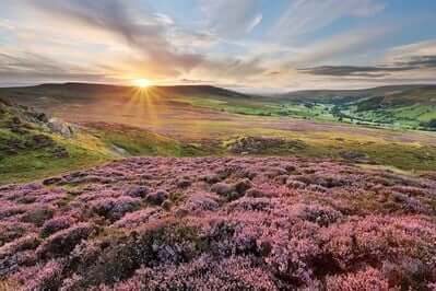
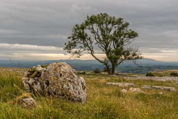
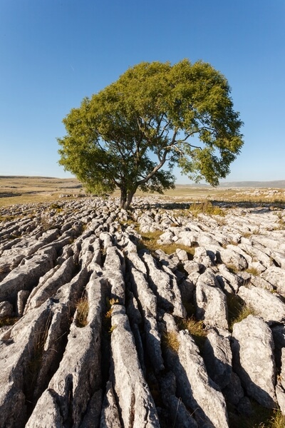
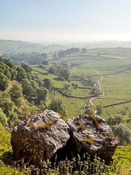
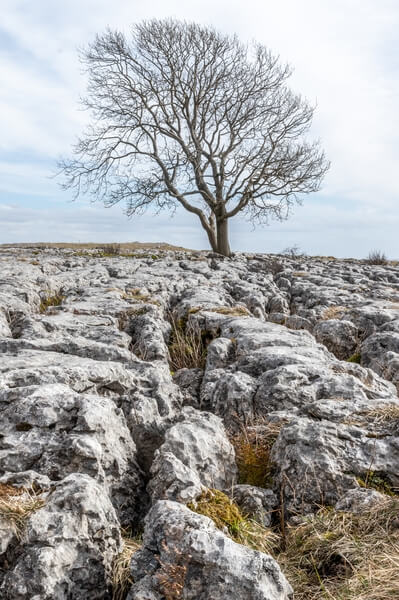
As well as viewing from the bottom, there's a well marked walk around the top of the cove too, with some of the best limestone pavements in the country and extensive views out over Malhamdale to the south.
As well as viewing from the bottom, there's a well marked walk around the top of the cove too, with some of the best limestone pavements in the country and extensive views out over Malhamdale to the south.
Join PhotoHound to learn how, where and when to capture amazing photos here
- Know the best times, seasons & shooting conditions
- Detailed directions - maps, co-ordinates and directions
- Know how to get there - where to park or how to reach there using public transport
- Browse inspirational photos and learn how they were taken - see the EXIF details
- Bookmark your favourite spots for future reference
- Know exactly when to shoot for beautiful photographs - sunrise, sunset, blue hour and astrophotography
- Detailed, 7-day weather forecast at this location
- Share your images with like-minded travel photographers
Essential Information
Guides
This spot appears in 1 guide.