Hidden Lake Peaks
5 images 1 contributors
T. Kirkendall and V. Spring
About this spot
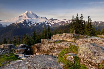
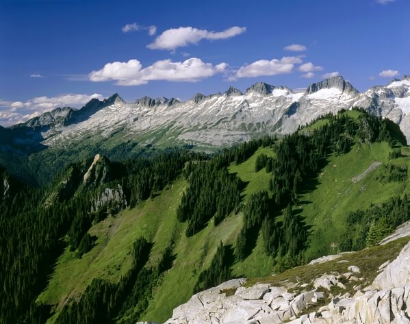
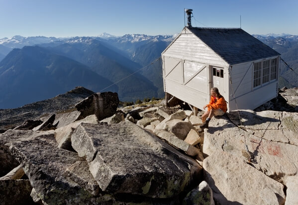
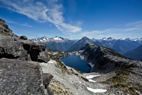
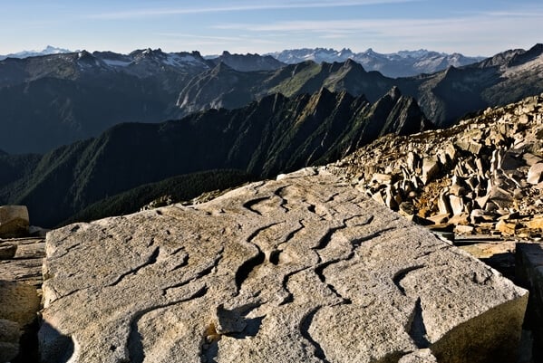
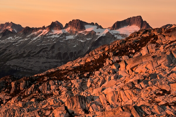
One the trail leaves the forest at 1.5 miles, hikers are treated to broad vistas and lush meadows full of wildflowers. A mile later, the flower covered meadows transition into heather dominated hillsides. The trail climbs steadily, to reach a narrow gully, often filled with snow the entire year, below the lookout. Work your way up to the ridgecrest where the trail divides. Straight ahead a trail descends into North Cascades National Park and campsites overlooking Hidden Lake, Boston Basin, and the El Dorado Massif. The trail heading off to the right from the ridgecrest, ascends the hillside to a boulder field and ends. Hikers must work out the best route across the boulders to reach the lookout and panoramic-worthy views of the North Cascades. A third option is to branch left shortly before reaching the ridgecrest and following the sketchy trail along the crest of the ridge for an easy scramble up Hidden Lake Peaks.
Join PhotoHound to learn how, where and when to capture amazing photos here
- Know the best times, seasons & shooting conditions
- Detailed directions - maps, co-ordinates and directions
- Know how to get there - where to park or how to reach there using public transport
- Browse inspirational photos and learn how they were taken - see the EXIF details
- Bookmark your favourite spots for future reference
- Know exactly when to shoot for beautiful photographs - sunrise, sunset, blue hour and astrophotography
- Detailed, 7-day weather forecast at this location
- Share your images with like-minded travel photographers
Essential Information
Guides
This spot appears in 1 guide.