 Dry Falls Viewpoint
4 images 2 contributors
Joe Becker
About this spot
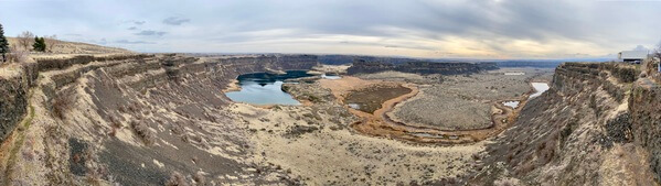
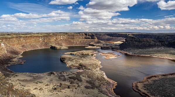
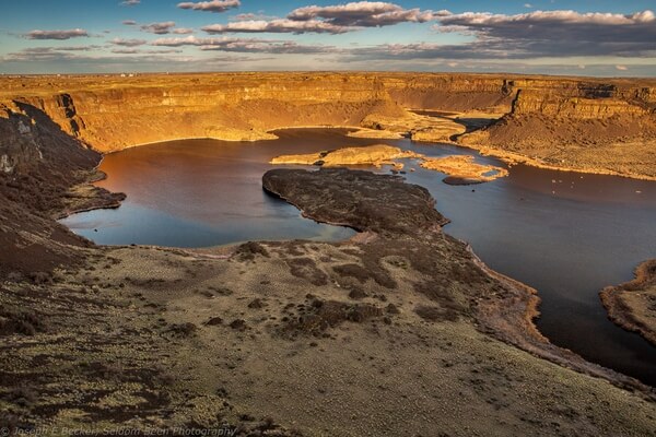
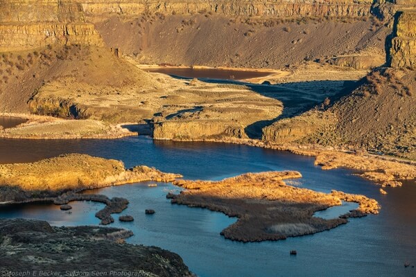
Dry Falls is a 3.5-mile long curving basaltic cliff that was carved by torrential floods some 20,000 years ago. The cliffs are located in Sun Lakes-Dry Falls State Park. They form the head of the Lower Grand Coulee. The flooding was caused when an glacial ice dam repeated created a huge lake covering much of western Montana and repeatedly broke sending flood waters westward across northern Idaho and eastern Washington. This cycle of damming and flooding reportedly occurred more than a dozen times. These floods created the channeled scablands of Washington State, of which Dry Falls is a prime example.
Join PhotoHound to learn how, where and when to capture amazing photos here
- Know the best times, seasons & shooting conditions
- Detailed directions - maps, co-ordinates and directions
- Know how to get there - where to park or how to reach there using public transport
- Browse inspirational photos and learn how they were taken - see the EXIF details
- Bookmark your favourite spots for future reference
- Know exactly when to shoot for beautiful photographs - sunrise, sunset, blue hour and astrophotography
- Detailed, 7-day weather forecast at this location
- Share your images with like-minded travel photographers


