Devil’s Dyke
4 images 1 contributors
Andrew Sharpe
About this spot
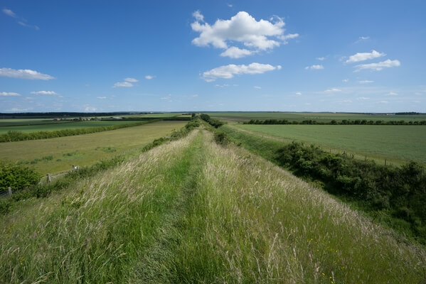
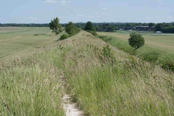
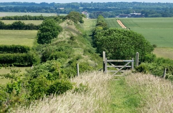
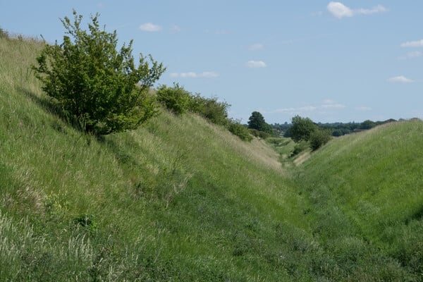
Devil’s Dyke is one of the largest and best preserved Anglo-Saxon earthworks in England. It runs in an almost straight line from Woodditton south of Newmarket to Reach north-west of Newmarket. The Dyke is over 7 miles (11 km) long and is the largest of a series of ancient Cambridgeshire dykes. In some places the bank measures 9 metres (30 ft) high and 36.5 metres (120 ft) across. Its highest point is at Gallows Hill where it measures 10.5 metres (34 ft) from the bottom of the ditch to the top of the earth wall. The dyke does not start near the car park, and if you wish to walk its entire length you must start at Reach, about 1.25 miles (2 km) away.
Join PhotoHound to learn how, where and when to capture amazing photos here
- Know the best times, seasons & shooting conditions
- Detailed directions - maps, co-ordinates and directions
- Know how to get there - where to park or how to reach there using public transport
- Browse inspirational photos and learn how they were taken - see the EXIF details
- Bookmark your favourite spots for future reference
- Know exactly when to shoot for beautiful photographs - sunrise, sunset, blue hour and astrophotography
- Detailed, 7-day weather forecast at this location
- Share your images with like-minded travel photographers
Essential Information
Guides
This spot appears in 1 guide.