Enchanted Valley
5 images 1 contributors
T. Kirkendall and V. Spring
About this spot
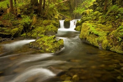
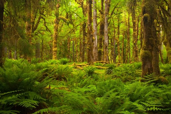
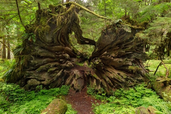
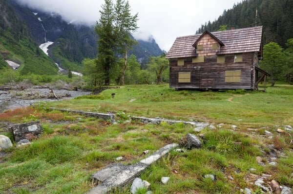
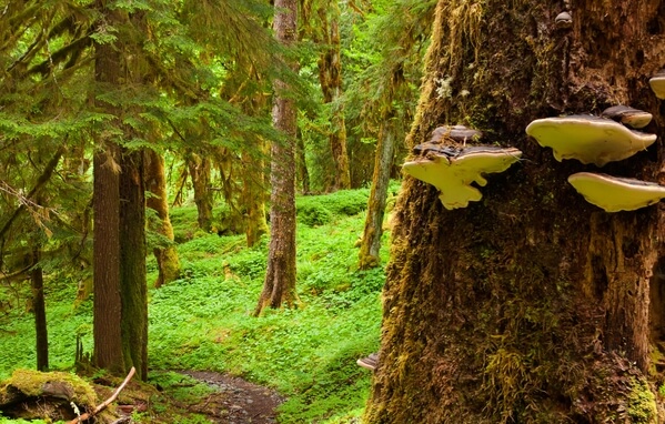
This is an immensely scenic, 13.5 mile hike up the East Fork Quinault River to a deep valley nestled in the mountains. Along the way the trail passes through groves of ancient trees, over and through creeks and across large meadows. At the time of this writing, the only challenging area was the unbridged crossing of Pyrites Creek at the 9 mile point. The destination is a large meadow where long, lacy waterfalls descend thousands of feet from the snowfields high above. The meadow is known for its huge, historic, cabin which once was used as a hotel. The building was moved away from the eroding river bank in 2014. http://www.wta.org/signpost/watch-the-enchanted-valley-chalet-move-to-safety
Park website:https://www.nps.gov/olym/planyourvisit/east-fork-quinault-river-trail.htm
Park website:https://www.nps.gov/olym/planyourvisit/east-fork-quinault-river-trail.htm
Join PhotoHound to learn how, where and when to capture amazing photos here
- Know the best times, seasons & shooting conditions
- Detailed directions - maps, co-ordinates and directions
- Know how to get there - where to park or how to reach there using public transport
- Browse inspirational photos and learn how they were taken - see the EXIF details
- Bookmark your favourite spots for future reference
- Know exactly when to shoot for beautiful photographs - sunrise, sunset, blue hour and astrophotography
- Detailed, 7-day weather forecast at this location
- Share your images with like-minded travel photographers
Essential Information
Guides
This spot appears in 1 guide.