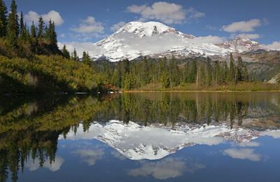
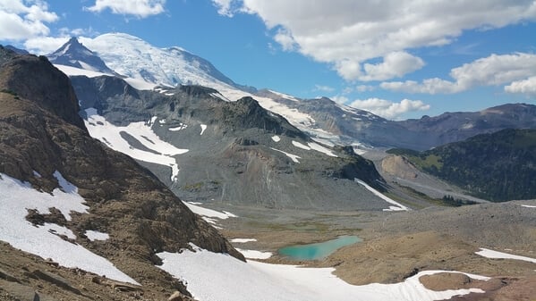
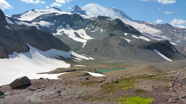
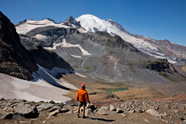
Panhandle Gap, Mount Rainier National Park
7 images 2 contributors
T. Kirkendall and V. Spring

About this spot
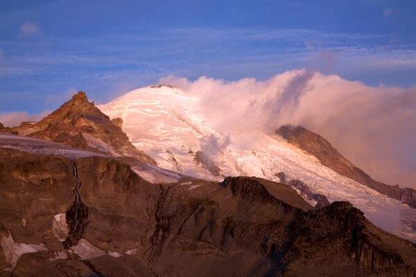
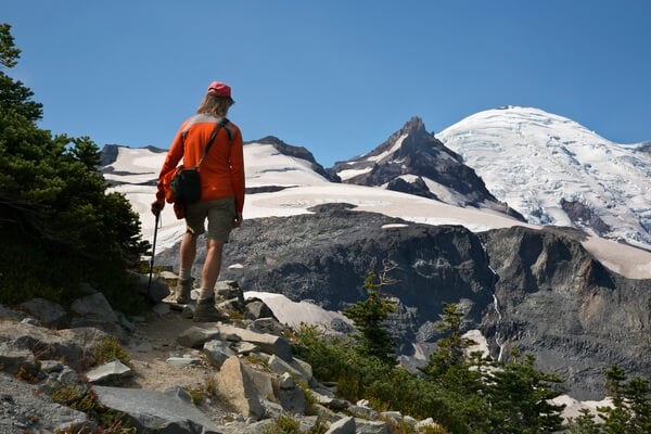
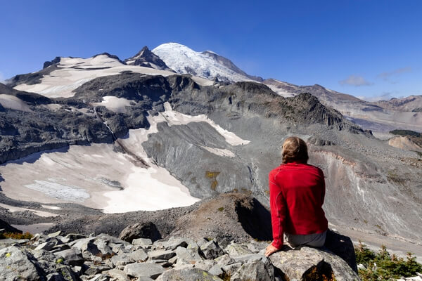
Located in the alpine world, at the very edge of glaciers, 6,750 foot Panhandle Gap is the highest spot on Mt. Rainier's Wonderland Trail. It is also the most dangerous, with steep, icy snowfields lingering until August. The terrain around the gap is open and rocky, looking like the glaciers receded from the area just a few short days ago. The trail, which is easily lost as it climbs up the old moraine, is marked by the occasional cairn, making it difficult to follow on foggy days. However, arriving at the gap on a sunny day is an invigorating achievement with a vast panorama of hills,valleys, glaciers, and, of course, The Mountain, spread out around you.
Join PhotoHound to learn how, where and when to capture amazing photos here
- Know the best times, seasons & shooting conditions
- Detailed directions - maps, co-ordinates and directions
- Know how to get there - where to park or how to reach there using public transport
- Browse inspirational photos and learn how they were taken - see the EXIF details
- Bookmark your favourite spots for future reference
- Know exactly when to shoot for beautiful photographs - sunrise, sunset, blue hour and astrophotography
- Detailed, 7-day weather forecast at this location
- Share your images with like-minded travel photographers
Guides
This spot appears in 1 guide.